A vein and veinlet system across 2.5 × 5 km
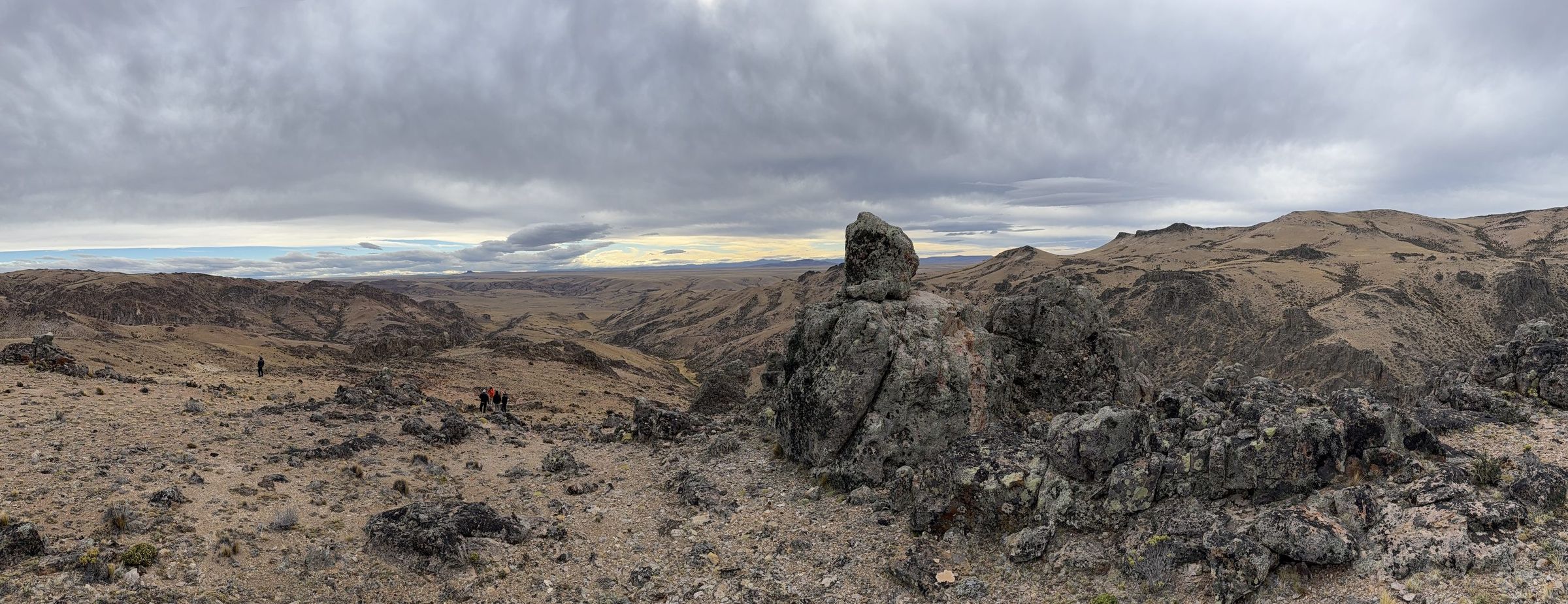
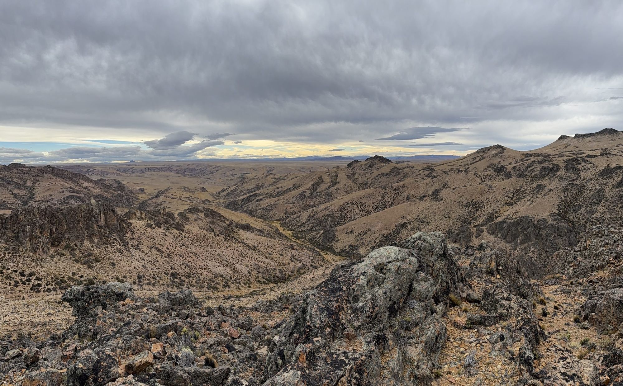
Ciclón Este is a vein and veinlet system with a main northwest-trending structure 1,200 m long, with surface values up to 2,100 g/t Ag. Four north-northeast veins and veinlets branch from it over a further 1,400 m, with surface values up to 4,249 g/t Ag.
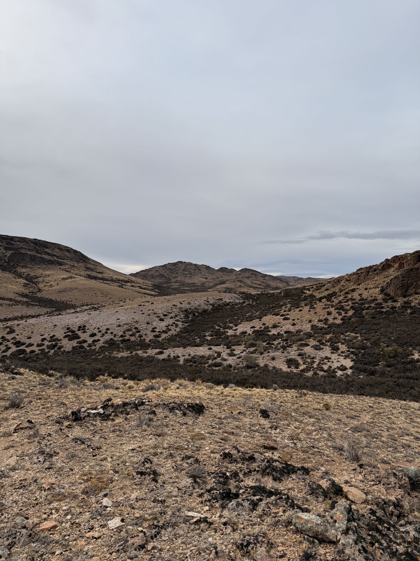
The veins are hosted in a porphyritic rhyolite dome with quartz-sericite alteration. Quartz veinlets are irregular and discontinuous, grading into silicification, and show massive chalcedonic quartz and carbonate replacement textures.
Immediately south of the main structure, the system is covered by a sequence of ignimbrites about 40 m thick.
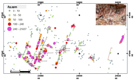
Best drill resultDCE-22-02: 2.9 m @ 620 g/t Ag, including 1 m @ 1.6 g/t Au, from 63.5 m downhole, about 50 m below surface
The distal, partly exposed part of a larger system
We interpret Ciclón Este as the distal part of a low-sulphidation epithermal system that is only partly exposed. Our exploration is designed to test this hypothesis by drilling at depth and beneath the cover.
A fertile silver system
Surface and drill geochemistry confirm a silver-rich system with associated gold.
We are at the edge of the system
Vein textures and alteration minerals in the host rock suggest a distal position within the hydrothermal system. Its limits are not yet known.
Much of it is hidden
Epithermal systems in the Deseado Massif typically have footprints of 10 to 20 km per side. A large part of the Ciclón system is likely covered by the ignimbrite to the south.
Potential for an economic deposit
High silver and anomalous gold values at surface and in drilling support the potential for an economic deposit.
Two phases to test the potential of Ciclón
Drill targets will be generated from the 3D geological model and drone magnetics. The first goal is to find the level of the system where mineralization is concentrated.
Phase 1: discovery
4,000 mA drill program aimed at one or more discovery intercepts, defined as intervals grading 400 g/t Ag or more per metre, or 5 g/t gold equivalent.
Phase 2: definition
4,000 mA second program to confirm the continuity of mineralized intervals, stepping out with holes spaced 50 to 100 m horizontally and 50 m vertically.
Field work ahead of drilling
Geological mapping
Map the rock units, structures and block boundaries, and identify the units that host the mineralized veins.
Vein mapping and core re-logging
Map vein textures, widths, geometry and alteration at a detailed scale, and re-log historical Ciclón Este core to the same standard.
Portable XRF and ASD sampling
Selective re-sampling of surface and core, with portable XRF for multi-element geochemistry and ASD TerraSpec for alteration clays.
3D geological model
Integrate lithology, alteration and geochemistry to find vectors toward the core of the system.
Drone magnetic survey
Define the magnetic signature of the Ciclón veins, where alteration destroys magnetite, and trace it south beneath the ignimbrite cover.
Finding the mineralized level
In the district, mineralization tends to concentrate within a specific elevation range. At Lejano it sits between 750 and 850 m above sea level, open at depth; at the Mariana vein in Cerro Negro, between 300 and 600 m.
Following up DCE-22-02
One hole will test the vein below the best historical intercept, which sits at 980 m above sea level, at about 930 m, with a possible second hole at 870 m.
From the field